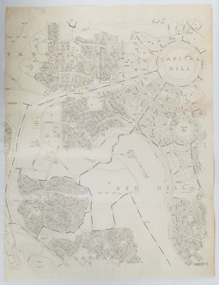
Map of Canberra's Inner South, showing Capitol Hill, Yarralumla, Deakin, Forrest, Hughes, Red Hill and Garran.
Canberra. No publisher. nd. (early 1970s). Black and white map of Canberra showing Capitol Hill, Yarralumla, Deakin, Forrest, Hughes, Red Hill and Garran with a few anomalies such the proposed road Gowrie Drive which is shown as crossing the edge of Red Hill from Kent Street in Deakin (beside the..... More