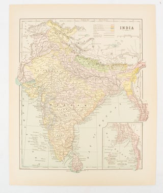
India
New York. [circa 1910]. Printed colour map 29 x 25 cm with inset map of the Eastern Part of India, colour key reference key to the ruling divisions, current and projected railways and telegraphs also shown, central fold, slight toning; in very good condition. Interesting map shaded by Divisions: the..... More