
内国地図 1&3第: Naikoku Chizu Volumes I and III.
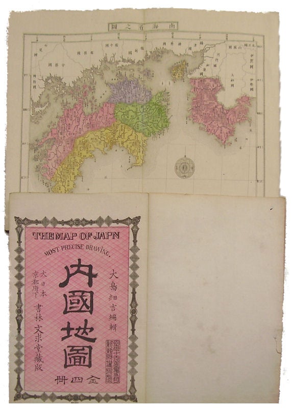
The Map of Japan: Most Precise Drawing.
Bunkyu-do. Circa Meiji 11.5 ( 1878). Stock ID #136414 Japanese text with Romanised titles on most maps and Romanised title on title page. The orientation of the maps vary. This atlas is surprisingly scarce. OCLC shows only one copy and even odd volumes are not often seen. A very nice example of late 19th century Japanese cartography. When referring to this item please quote stockid 136414.
2 volumes of a 4 volume atlas of Japan. Volume I: [4pp] district list, 22 double page copper engraved maps of Kinai (Kyoto-Osaka region) and Tokaido (Tokyo-Kanto region), 2 double page in colour, 19 double page in black and white and one double page featuring 3 maps of island groups. Volume III: 27 double page maps, 3 in colour and 24 in black and white map of the San'indo (northern Chugoku region); San'yodo (southern Chugoku region) and Nankaid Chugoku region (Shikoku). Relief shown by hachures. Printed on folded double leaves. Bound accordion style, patterned paper covered boards. 26 x 17cm. Very nice clean volumes.
Price: $850.00 AU