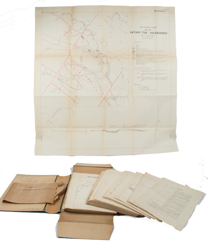
A Collection of 34 Maps to accompany the Jaarboek Van Het Mijnwezen in Nederlandsch-Indië,
No cover image available
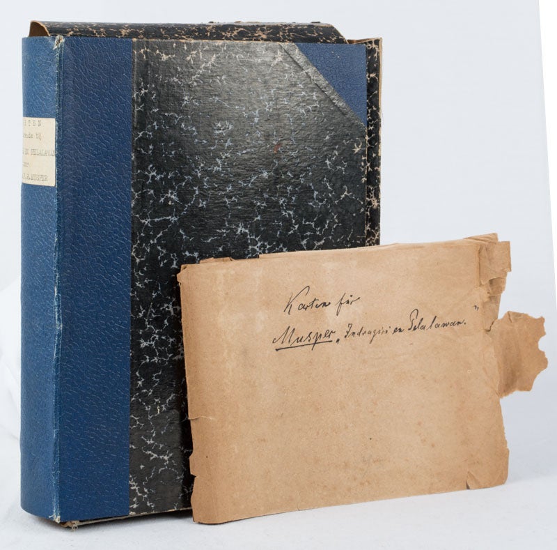
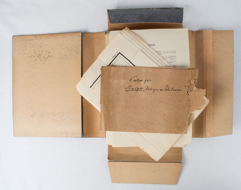
Jaarboek Van Het Mijnwezen In Nederlandsch-Indië, Indragirien Pelalawan
Welteveden: Landsdrukkerij (Landscape Printing), 1928. Stock ID #170061 This collection of geological survey maps is of two particular provinces in Indonesia: Indragiri and Pelalawan. The previous owner name stamped on the inner cover. is that of W. P de Roever who studied geology at the University of Amsterdam from 1934 to 1940 , where he mapped the Betische Cordilleren under Hendrik Albertus Brouwer and received his doctorate in 1940 on the geology of Timor. During World War II, he studied various stages of metamorphosis of rocks that Brouwer in Indonesia (z. B. Celebes) had collected. After the Second World War, he himself went to Indonesia in the service of the Geological Service (Dienst van Mijnbouw). After Indonesian independence, he returned to the Netherlands in 1950 and became a lecturer at the University of Amsterdam. From 1955 he was professor of petrology, mineralogy and crystallography at the Leiden University . In 1957 he succeeded Brouwer as a professor in Amsterdam. When referring to this item please quote stockid 170061.
A folder, quarter linen with marbled boards containing 34 large folding maps, some coloured approx. 109 x 55cm. 1pp table of contents. The maps are in very good condition and dated 1927. The folder is a trifle worn. 24 x 18.5cm.
Price: $450.00 AU