
Hydrographic Survey of the Fly River. Korimoro Point to Kiunga. Navigation Charts.
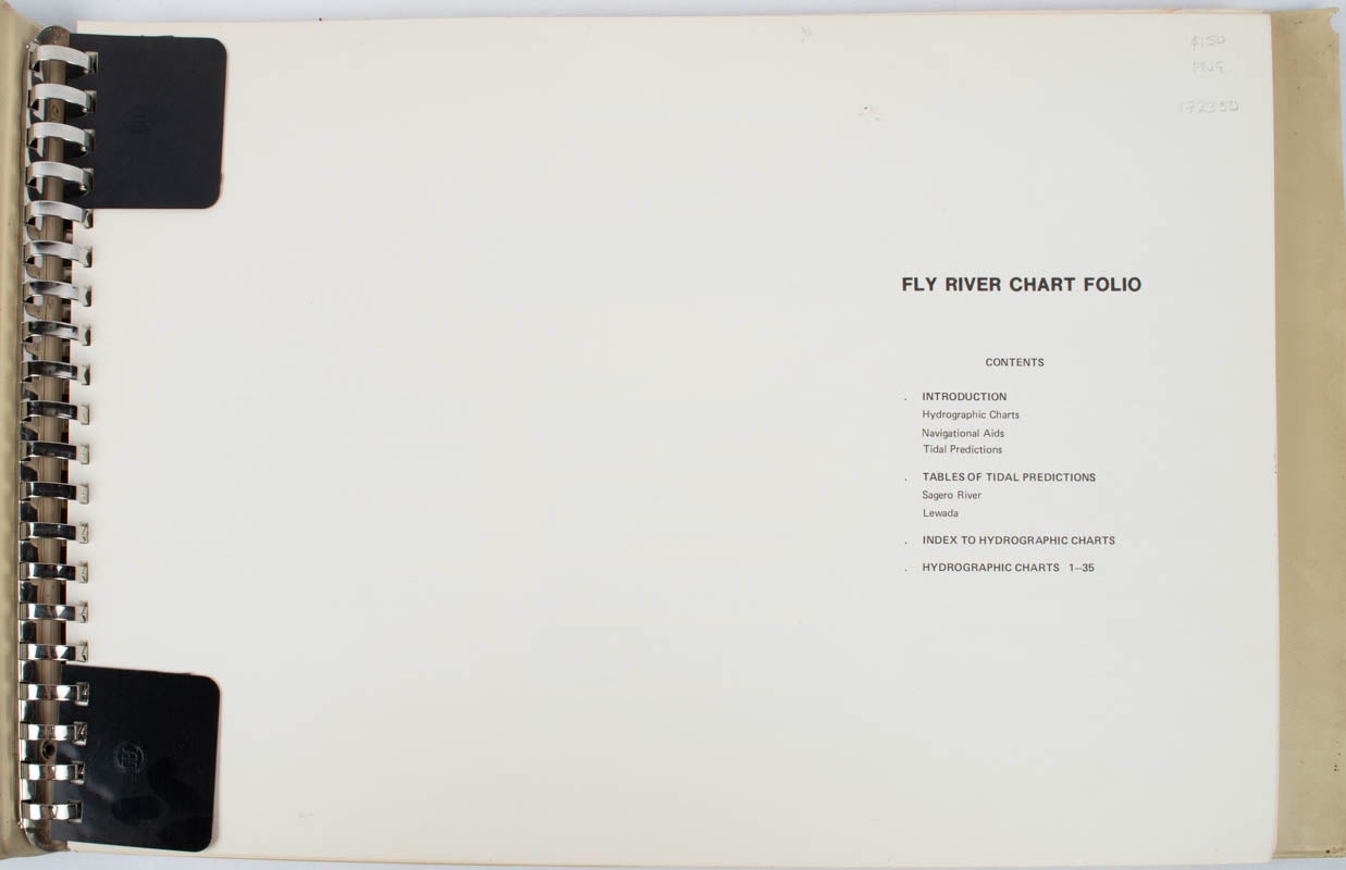
Ok Tedi Mining Corporation. September 1981. Stock ID #172350 "The following notes on the hydrographic charts, navigational aids and tidal predictions which appear in this publication, are a summary of a report prepared for the Ok Tedi Mining Limited by the Snowy Mountains Engineering Corporation with the assistance of Hydrographic Surveys Pty Ltd in December 1981.... The hydrographic surveys required to produce these charts were carried out in February and March 1981. " When referring to this item please quote stockid 172350.
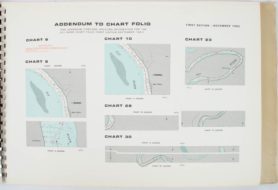
35 full page colour charts with 9 pages of tidal predictions for 1982 and 1983 on preceeding leaves. Printed on one side of each leaf and presented in metal ring binder, large oblong plastic covers titled on upper cover and spine in black. Very good copy. 30 x 43cm.
Price: $150.00 AU