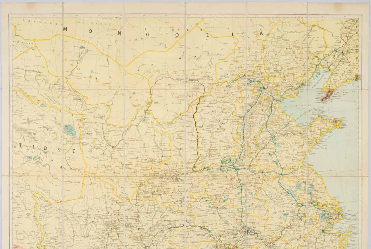
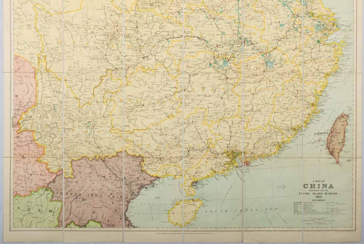
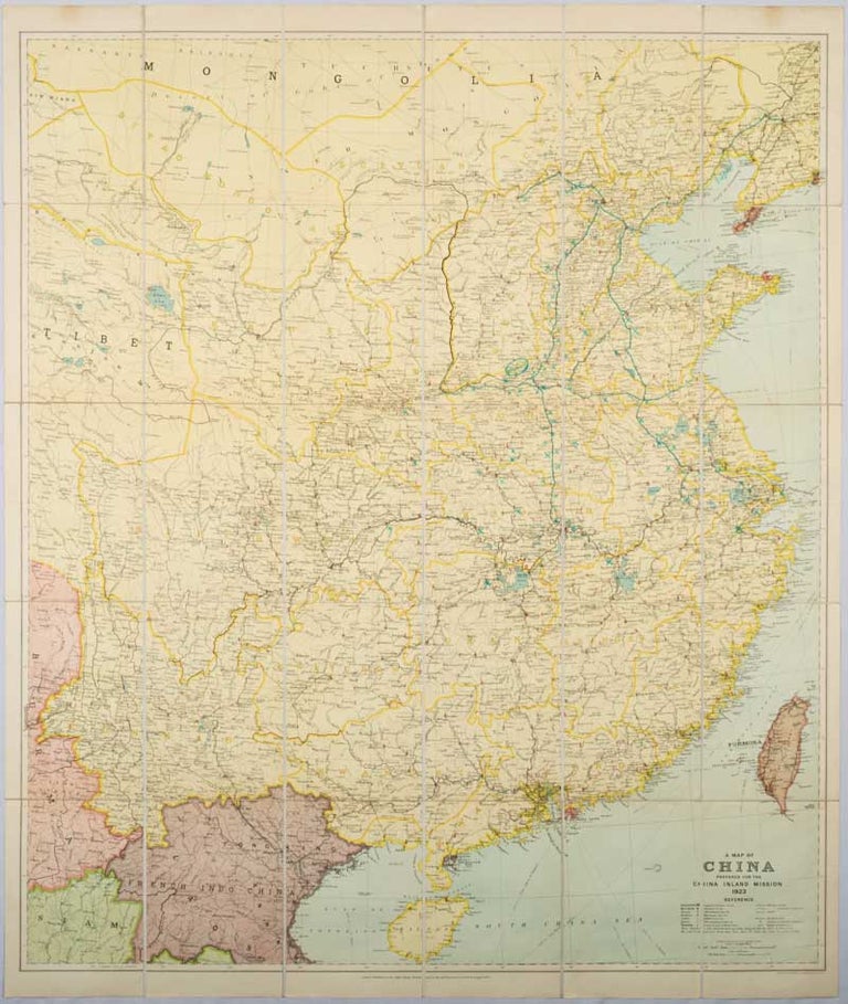
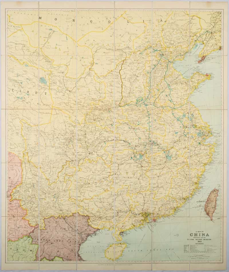
A Map of China Prepared for the China Inland Mission 1923.
London. Edward Stanford. ( 1923). Stock ID #173636 Unusual and impressive large map showing Protestant Missions as well as topographical and man-made features. Curiously a later hand has neatly picked out added details in aqua ink: Sugar, Mines and a reference to Pengpo. When referring to this item please quote stockid 173636.
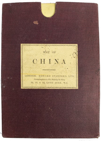
Large map of China dissected into 30 panels and mounted on linen, 106 x 89.8cm (sheet size), map 100 x 86.8cm, folding into yellow printed wrappers (list of Stanford's Library Maps and Stanford's Compendium of Geography & Travel) 21.2 x 15.1cm, housed in the original cloth-backed slipcase, with printed yellow title-label, slipcase fading and slightly rubbed, label with traces of small wormholes, map in very good bright order with added details picked out neatly in aqua ink by an early hand.
The China Inland Mission, for whom the map was prepared had first begun to send missionaries to China in 1866. "Refusing to appeal for funds but relying on unsolicited contributions, the goal of the China Inland Mission was the interdenominational evangelization of China's inland provinces. Missionaries were to have no guaranteed salary and were expected to become closely involved in the Chinese way of life". (Note to the Archive held at School of African and Oriental Studies, University of London).
Price: $950.00 AU