
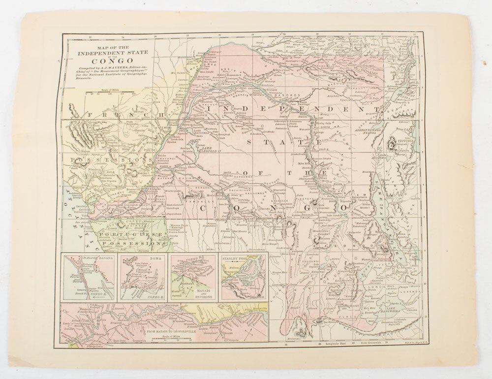
Map of the Independent State of the Congo.
New York. (Hunt & Eaton). (Circa 1893). Stock ID #175715 When referring to this item please quote stockid 175715.
Printed colour map, 24 x 28 cm, four thumbnail inset maps: Banana; Boma; Matadi & Environs; Stanley Pool (named for the explorer); and below, a lozenge inset of the road from Matadi to Leopoldville, marginal toning and small edge tears, one corner creased, but in very good condition, and, on the verso, explanatory text and line engravings in two columns for this map and partial description for the previous entry for the Suez Canal, from Hunt & Eaton's school atlas published in 1893.
Price: $125.00 AU
See all items by A. J.. FOR THE NATIONAL INSTITUTE OF GEOGRAPHY WAUTERS, BRUSSELS., FISK, CO. ENGRAVERS