![Stock ID #177995 京都市街新地図. [Kyōto shigai shinchizu]. [New Map of Kyoto City]. MEIJI TRAVEL MAP OF KYOTO AND ITS SURROUNDING.](https://asiabookroom.cdn.bibliopolis.com/pictures/177995.jpg?width=768&height=1000&fit=bounds&auto=webp&v=1699564708)
![京都市街新地図. [Kyōto shigai shinchizu]. [New Map of Kyoto City].](https://asiabookroom.cdn.bibliopolis.com/pictures/177995_2.jpg?auto=webp&v=1699564708)
![京都市街新地図. [Kyōto shigai shinchizu]. [New Map of Kyoto City].](https://asiabookroom.cdn.bibliopolis.com/pictures/177995_3.jpg?auto=webp&v=1699564708)
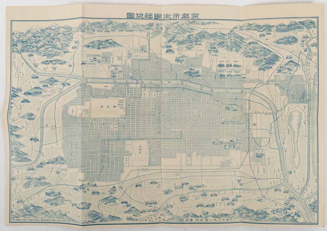
京都市街新地図. [Kyōto shigai shinchizu].
[New Map of Kyoto City].
京都. [Kyoto]. 旅館 亀屋. [Ryokan Kameya]. Meiji 40 [ 1907]. Stock ID #177995 This tourist map of Kyoto from 1907 was published by Kameya Ryokan as a complimentary map for its guests. The business was situated at a prominent location near Sanjo Bridge, which is still a busy city centre in Kyoto. The map provides comprehensive information on tourist attractions in eastern and western Kyoto with their temples in illustrations and their distances as well as railway lines. When referring to this item please quote stockid 177995.
Small pictorial folding map, 27 x 40cm, folded into 14 x 10cm, some small holes along folds, now neatly secured with archival washi, but a very good copy.
Price: $275.00 AU