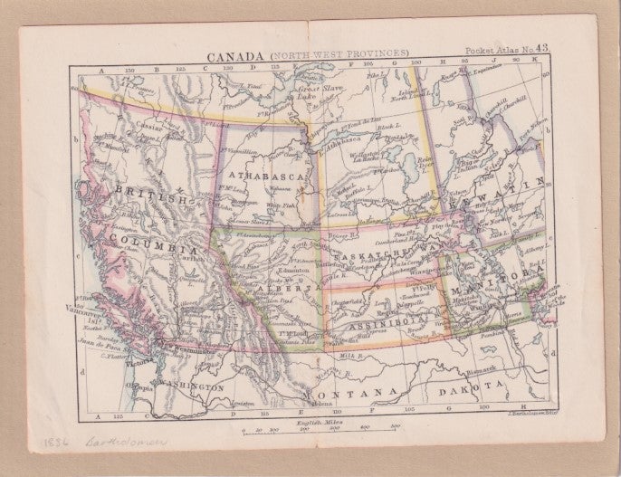
Canada (North West Provinces).
Bartholomew. [ 1886]. Stock ID #63900 A map of the Canadian prairies and British Columbia, showing the defunct districts of Assiniboia, Athabasca, and Keewatin. When referring to this item please quote stockid 63900.
Small map of the north west provinces of Canada from the British Colonial Pocket Atlas. Printed colour, tiny barely visible hole in one place along the centrefold. 16 x 12 cm.
Price: $40.00 AU
See all items in
All Galleries,
Ephemera and Maps
See all items by CANADIAN PRAIRIES - MAP, BARTHOLOMEW