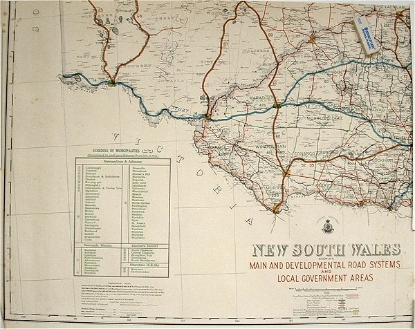
New South Wales Showing Main and Developmental Road Systems and Local Government Areas.
Sydney. Department of Lands. 1934. Stock ID #65633 When referring to this item please quote stockid 65633.
Large printed outline colour map of New South Wales showing the Murray and Murrumbidgee Rivers and Road System, lightly foxed, a few small closed tears at margins, no margins on upper or right edge, 53 x 69cm. Good copy.
Price: $50.00 AU
See all items in
Ephemera and Maps
See all items by 1930S MAP OF NSW