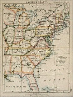
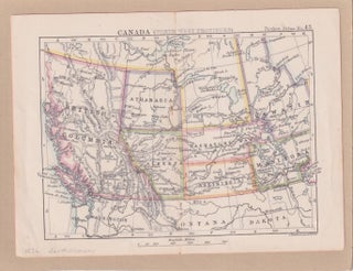
萬国訳図. 西半球. [Bankoku yakuzu. Nishi hankyū]. [International Translated Map of the Western Hemisphere].
名古屋. [Nagoya]. 小澤吉三郎. [Ozawa, Kichizaburō]. Meiji 12 [ 1879]. Striking colour woodblock folding map of the Americas, 56 x 50cm, folds into 19 x 12.5cm yellow paper covered card covers, slightly soiled and worn with paper title label. A little browning or staining along folds and at corners, some small..... More

![Stock ID #177991 萬国訳図. 西半球. [Bankoku yakuzu. Nishi hankyū]. [International...](https://asiabookroom.cdn.bibliopolis.com/pictures/177991.jpg?width=320&height=427&fit=bounds&auto=webp&v=1713930737)


![Stock ID #177908 アメリカ社会科パノラマ地図. [Amerika shakaika panorama chizu]....](https://asiabookroom.cdn.bibliopolis.com/pictures/177908.jpg?width=320&height=427&fit=bounds&auto=webp&v=1699564705)