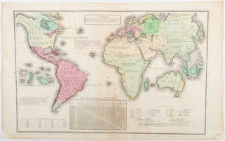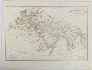
Monde comm des Anciens.
(Paris.): (circa 1820). Engraved map with original outline hand-colour, 21.1 x 31.5cm, original folds, a few spots and a little creased but in very good condition. Latin map of the Ancient world encompassing Europe, India, Arabia, the Middle East and North Africa, by the French cartographer Jean Baptiste Poirson (1761-1831)..... More