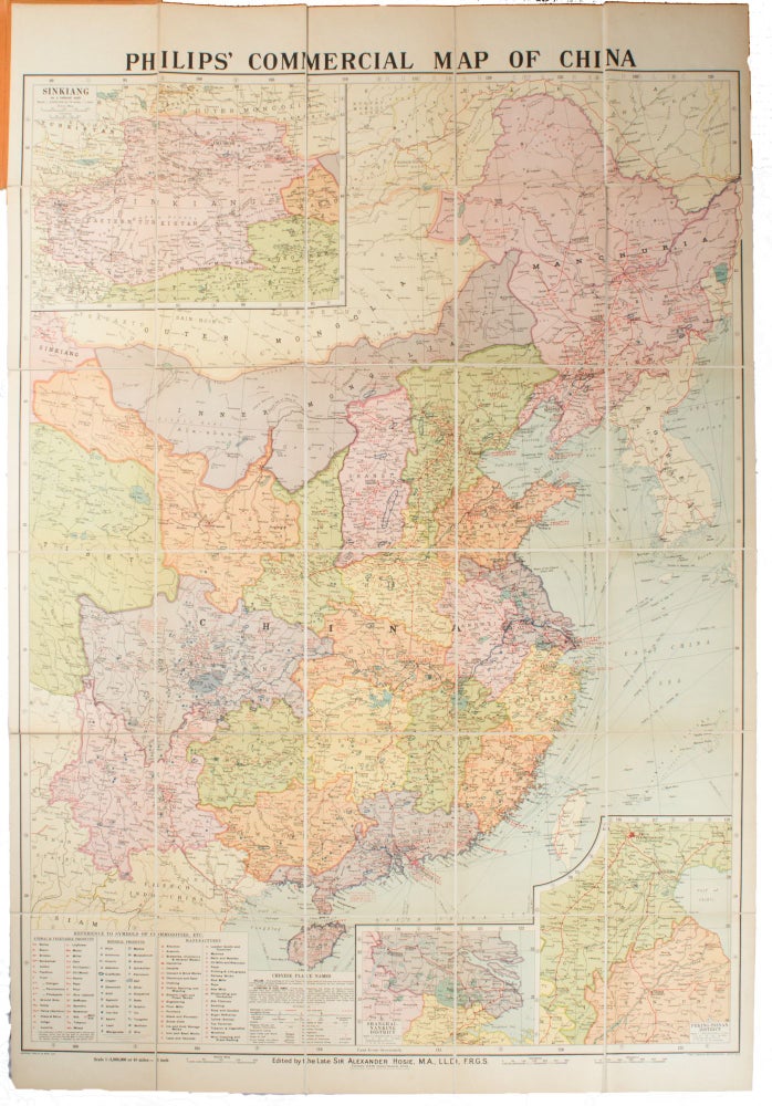
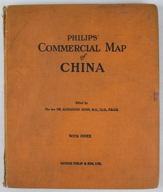
Philips' Commercial Map of China
[London]. George Philip & Son. No date. (circa 1937). Stock ID #163521 The map features three inset maps: Shanghai/Nanking District; Peking Tsinan District and Sinkiang. A key gives reference to the symbols of communities used which include animal and vegetable products, mineral products and manufactured products. A scarce map packed with fascinating detail of China at a crucial time in the country's history. When referring to this item please quote stockid 163521.
Very large, handsome coloured linen backed map 167.5 x 114.5cm, folds into cloth boards 29.5 x 24.5cm. Scale 1:3,000,000 or 48 miles to an inch.
Marbled front free endpaper creased and torn with some loss. Ribbon ties detached, cloth soiled, corners of corners worn and bumped, cloth along case joints torn in places. Although the case shows wear this striking map is in excellent condition.
Price: $2,500.00 AU


