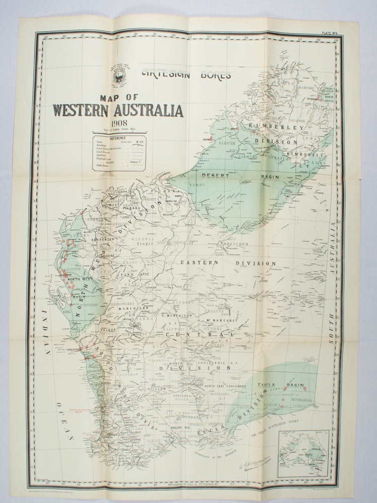
Map of Western Australia showing Artesian Bores
Sydney. W. A. Gullick, Government Printer. ( 1908). Stock ID #174550 When referring to this item please quote stockid 174550.
Large folding grid map of Western Australia with printed colour highlighting Artesian basins with the Artesian bores picked out in red, 92 x 62.8cm (plus margins 97 x 69.5cm), inset map of Australia 9.5 x 10.2cm and key showing towns, railways, land district boundaries, land division, goldfields, telegraph lines and stations and stock routes; age-toning along the original folds, small fold tear (no loss). A very good example of an impressive map prepared for the Report of the Interstate Conference on Artesian Water, Sydney, 1912.
Price: $225.00 AU
See all items in
Ephemera and Maps
See all items by EARLY 20TH CENTURY WA MAP
