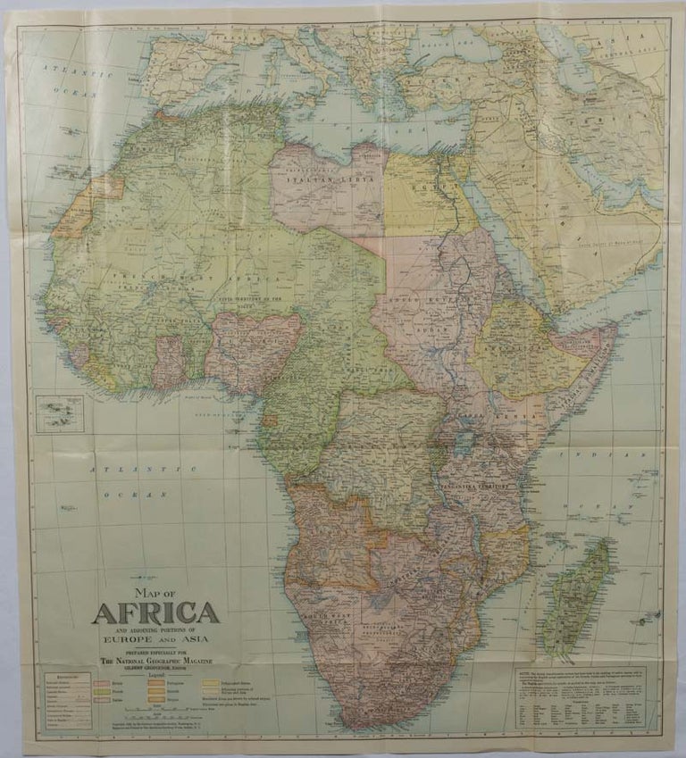
Map of Africa and adjoining portions of Europe and Asia.
Washington, D.C. National Geographic Society. 1922. Stock ID #175918 Attractive large-scale map with countries and territories coloured according to the controlling colonial power. When referring to this item please quote stockid 175918.
Large folding printed colour map, 77.2 x 69.4 cm, small inset map of Cape Verde Island, note to the transliteration of place-names, reference key to railways, caravan routes as well as river systems, waterways and deserts, legend to Colonial or territorial control, original folds, slight toning, in very good condition.
Price: $100.00 AU
See all items in
All Galleries,
Ephemera and Maps
