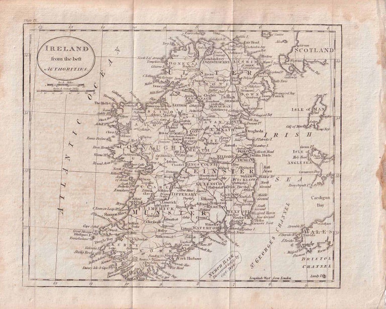
Ireland from the best authorities
[circa 1796]. Stock ID #176602 Finely engraved map showing Ireland divided into counties, lower coast of Scotland and Wales and the Isles of Man and Anglesea; also noting Nymph Bank, 'discovered in 1735 by Capt. Doyle.' When referring to this item please quote stockid 176602.
Engraved map, 18.3 x 22 cm, 21.7 x 27 cm (sheet), original folds, age toning and some offsetting, inner edge darkened and discoloured, but the map in good condition.
Price: $125.00 AU
