
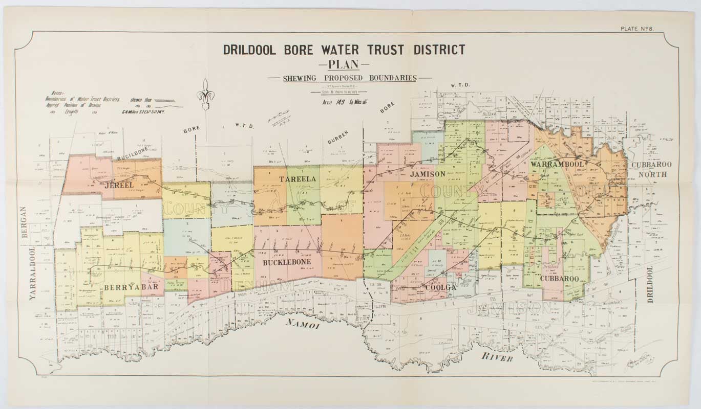
Drildool Bore Water Trust District Plan shewing proposed Boundaries.
[Sydney]. [W.A. Gullick, Govt. Printer], [ 1912]. Stock ID #177249 Attractive map from the Report on the first Interstate Conference on Artesian Water, (Sydney, 1912) showing boundaries of water trust districts, proposed boundaries, with position and length of drains for the counties of Denham and Jamison in northern New South Wales, boundaried by the Namoi River to the South. When referring to this item please quote stockid 177249.
Large lithographed folding county map 78.8 x 45.4 cm, the parishes highlighted in colour, two small fold splits, slight toning, in very good, bright condition.
Price: $125.00 AU
See all items in
Antiquarian,
Ephemera and Maps
See all items by NEW SOUTH WALES - 1912 COLOUR MAP