![Stock ID #178012 オーストラリア東岸バイロン岬至レイディ・エリオット島. [Ōsutoraria tōgan Bairon-misaki itaru redī eriottotō]. [Map of Australian Eastern Coast: From Cape Byron to Lady Elliot Island]. KAIJŌ HOANCHŌ SUIROBU, 海上保安庁水路部.](https://asiabookroom.cdn.bibliopolis.com/pictures/178012.jpg?width=768&height=1000&fit=bounds&auto=webp&v=1699564705)
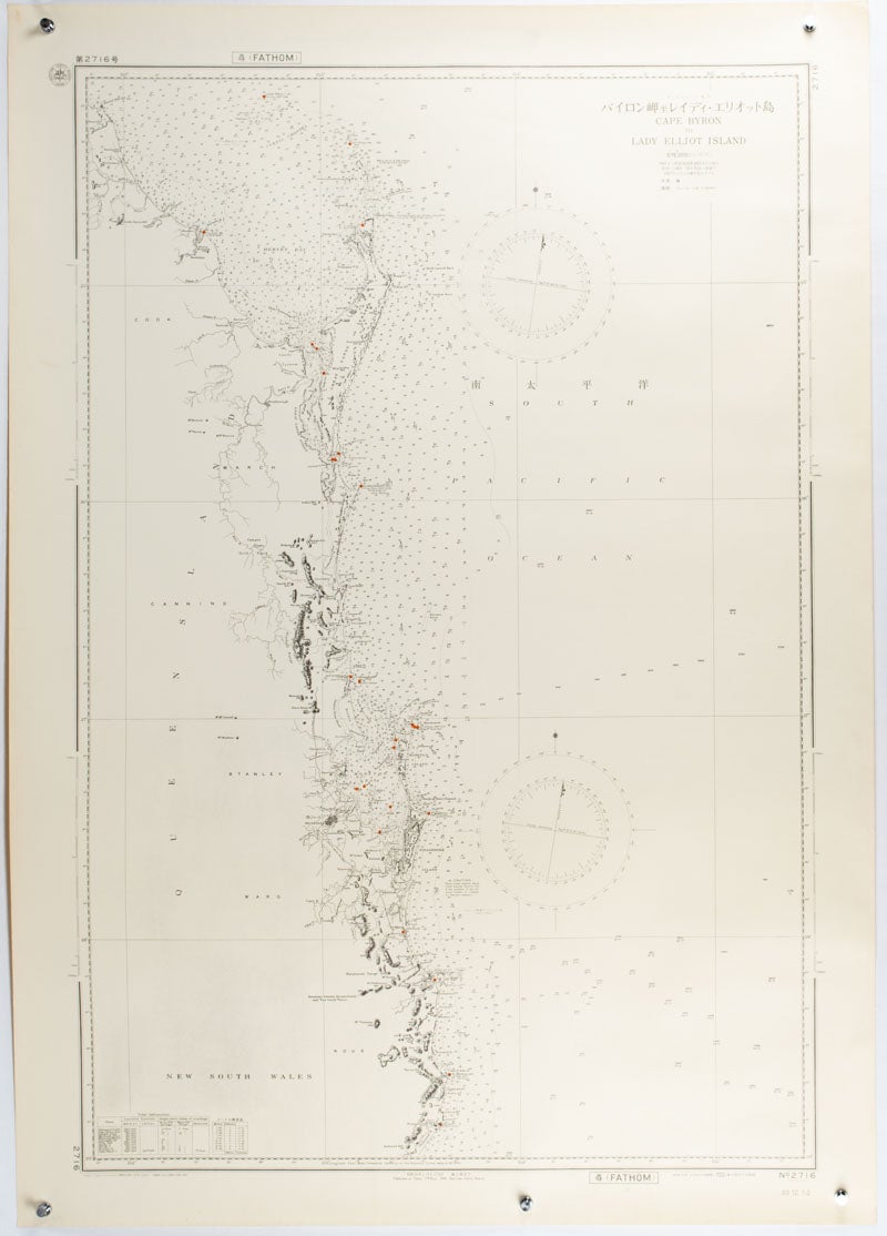
オーストラリア東岸バイロン岬至レイディ・エリオット島. [Ōsutoraria tōgan Bairon-misaki itaru redī eriottotō].
[Map of Australian Eastern Coast: From Cape Byron to Lady Elliot Island].
[Tokyo]. 海上保安庁水路部. [Kaijō Hoanchō Suirobu]. Showa 34 [ 1959]. Stock ID #178012 Japanese chart of the section of the east coast of Australia from Cape Byron to Lady Elliot Island published by the Japanese Maritime Safety Board in 1959. The map was based on the 1907 British chart updated with revisions to 1957. When referring to this item please quote stockid 178012.
Black and white maritime chart with red highlights, scale 1:575000, 108 x 76cm, very good copy.
Price: $250.00 AU
See all items in
Ephemera and Maps
See all items by KAIJŌ HOANCHŌ SUIROBU, 海上保安庁水路部