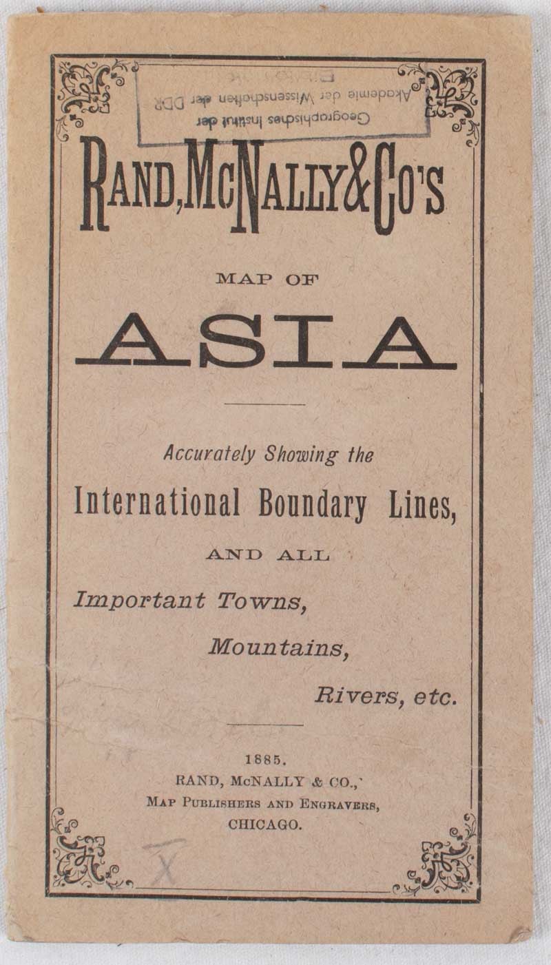
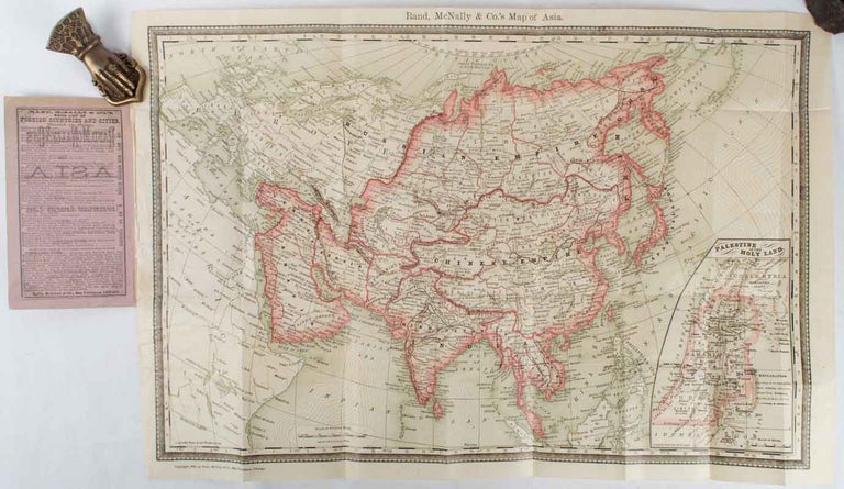
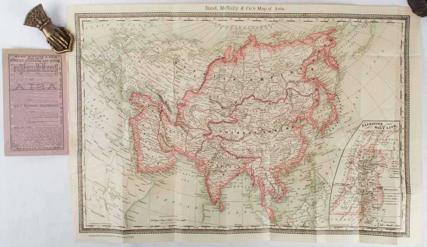
Rand McNally & Co.'s Map of Asia: Accurately showing the International Boundary Lines, and all Important Towns, Mountains, Rivers, etc.
Chicago. Rand, McNally & Co.. 1885. Stock ID #178184 The map includes Europe, Russia and has a smaller inset map of 'Palestine-or the Holy Land' When referring to this item please quote stockid 178184.
Folding chromolithographed map of Asia printed on fine paper. 34 x 50cm folding to 15.5 x 9cm into publisher's printed card covers, slightly sunned and creased but the map itself in fine condition. A small prior collection stamp of Geographisches Institut der Akademie der Wissendschaften der DDR on the front cover. Unrecorded in Australian collections.
Price: $225.00 AU
See all items in
All Galleries,
Antiquarian
See all items by MAP OF ASIA