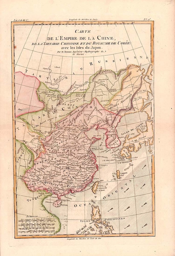
Carte de L'Empire de la Chine, de la Tartarie Chinoise et du Royaume de Corée: avec les Isles du Japon.
(Paris). circa 1780. Stock ID #180203 Attractive map showing China, the Korean peninsula, the Philippines, Japan and Chinese Tartary/Mongolia, Vietnam and Central Asia. Also shows the wind direction vital to traders at the time. Rigobert Bonne (1727-1794) was an influential French cartographer of the late-eighteenth century, succeeding Jacques Nicolas Bellin as Royal Hydrographer at the Depôt de la Marine in 1773. This map was prepared for Abbe Raynal’s famous "Atlas de Toutes Les Parties Connues du Globe Terrestre..." (1780). When referring to this item please quote stockid 180203.
Engraved handcoloured map, 31.3 x 20.5 cm; 37.8 x 25.5 cm (sheet), central fold, slight toning, one spot of discolouration to the upper border, in very good, crisp condition.
Price: $375.00 AU
