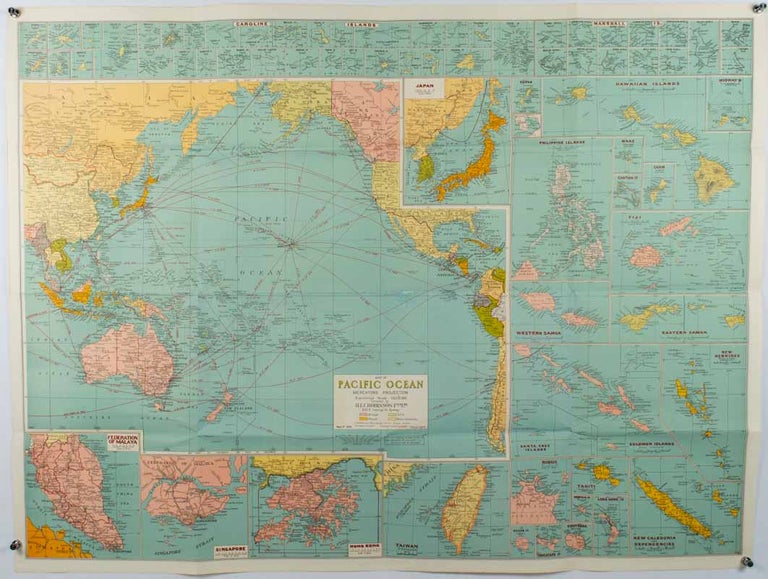
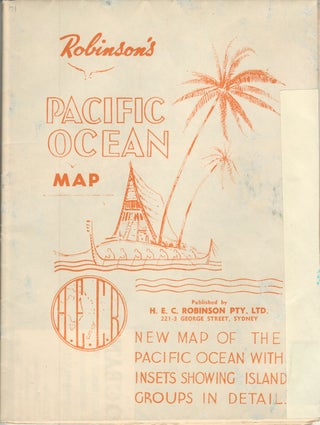
Robinson's Pacific Ocean Mercator's Projection. Map no. 1804 : New Map of the Pacific Ocean with Insets showing Island Groups in Detail.
Sydney. H.E.C. Robinson. (Circa 1945). Stock ID #180206 From the Sydney publisher H.E.C. Robinson, the firm founded in 1895 by Herbert Robinson (1857-1933), a founder of the Royal Geographical Society of Australasia. When referring to this item please quote stockid 180206.
Full colour, inset maps, principal cities and towns marked, shipping routes, international boundaries and railways. 99 x 73cm. Some small insect damage has been repaired on the verso visible on map as a few small lighter areas in the western Pacific. Pinpoint holes at folds, paper repair along cover but a very good clean copy.
Although the map is undated, North and South Korea are shown as divided, which occurred in late 1945, and Manchuria is marked as still under Soviet occupation, which only lasted until 1946, at which point it was handed over to Communist China.
As well as what now would be considered Southeast Asia, the main map shows the eastern half of India, Tibet, and parts of Mongolia, the USSR and East Asia. Inset maps include: Caroline Islands, Marshall Islands, Federation of Malaya, Singapore, Hong Kong, Taiwan, Japan, Hawaiian Islands, Philippine Islands, Midway, Gaum and Wake Islands, Fiji Islands, Eastern & Western Samoa, Santa Cruz and Solomon Islands, New Caledonia, Rabaul, Tahiti, Lord Howe, etc.
Price: $350.00 AU


