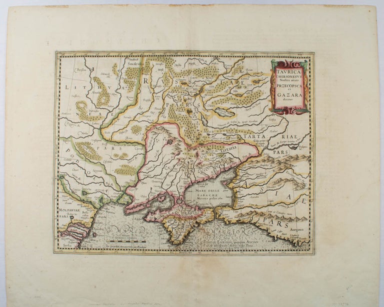
Taurica Chersonesvs Nostra aetate Przecopsca et Gazara dicitur.
[Amsterdam]. [Jodocus Hondius]. [circa early 17th century]. Stock ID #54794 When referring to this item please quote stockid 54794.
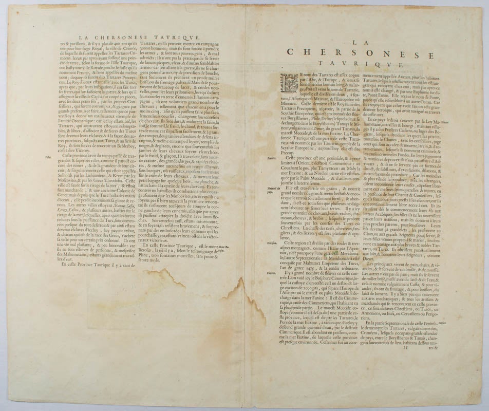
Map depicting the southeastern part of present day Ukraine and the Crimean peninsula, including the northern most part of the Black Sea and reaching north to Smolensk. Published by Hondius in the French edition of the Mercator-Hondius Atlas. Hand outline colour, topographical detail shown pictorially, some wear along centrefold, occasional pale foxing mostly in margins, decorative title cartouche upper right corner, French text on verso showing through, clear plate mark, even age toning, 48.5 x 58 cm.
Price: $650.00 AU
See all items in
All Galleries,
Ephemera and Maps
See all items by GERARDUS MERCATOR