Six Twentieth Century American Coastal Charts of India
Washington. D.C. U.S. Navy Hydrographic Office. 1914, 1930 & 1948. 1st Editions. Stock ID #65131 The charts in this collection are: When referring to this item please quote stockid 65131.
Six charts (5 coloured) folded as issued, one sheet with a few light foxing spots, a little minor creasing, some annotations on reverse, generally very good condition. Much interesting detail and many inset maps. The charts mark soundings in fathoms or feet and various natural and man-made features of the coastal areas covered.
India West Coast.
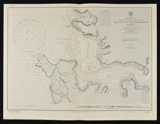
Approach and Entrance to Shastri or Sangameshwar River. 53.5 x 70.5cm. First edition. 1914.
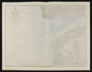
India West Coast. Bankot and Entrance to Savitri River. 54.5 x 70cm. Second edition. April 1930. Margin lower edge a little browned not affecting the chart.
India East Coast.
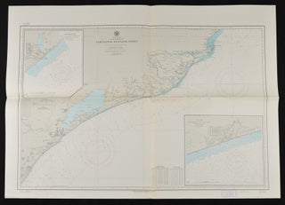
Gopalpur to False Point. With insets of Gopalpur and Puri. 76.5 x 107cm. First edition. June 1948.
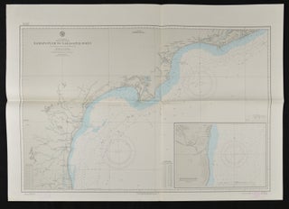
Ramaputnam to Narasapur Point. Inset of Masulipatam Roads. 76.5 x 107cm. First edition. June 1948.
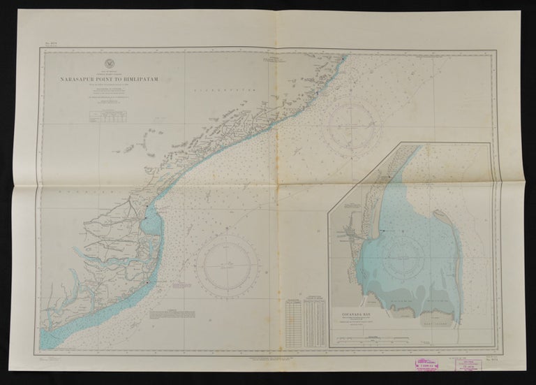
Narasapur Point to Bimlipatam. Inset of Cocanada Bay. 77 x 108cm. First edition. April 1948. A little foxed along fold.
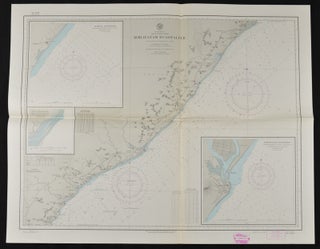
Bimlipatam to Gopalpur. Insets of Baruva Anchorage, Pundi River Entrance and Bimlipatam Anchorage. First edition. June 1948.
Price: $300.00 AU

