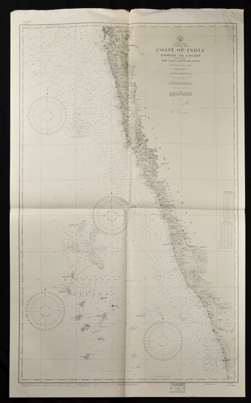
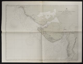
Coast of British India. #1589: Karachi to Bombay including the Gulfs of Cutch and Cambay. (7th. Edition, 1922) # 1590: Bombay to Cochin including The Laccadive Islands.
Washington. D.C. U.S. Navy Hydrographic Office. 1937. 10th edition. Stock ID #65133 A great length of the coast is here charted, with much detail marked along the coast including rivers, towns and the topography. The charts mark soundings in fathoms or feet and various natural and man-made features of the coastal area. Both are stamped "Corrected Through Notice to Mariners, Feb. 17, 1951". When referring to this item please quote stockid 65133.
Two charts, black and white, folded as issued. #1589: sheet measures approx. 89 x 118cm, #1590: 127 x 76cm, little creased at upper edge. Very good.
Price: $160.00 AU
See all items in
All Galleries,
Ephemera and Maps
See all items by TWO INDIAN COASTAL CHARTS


