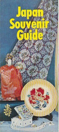
Japan Souvenir Guide.
Tokyo. Japan Souvenir Association. [Circa 1945- 1965]. Black and white illustrations, single sheet printed both sides, a good used copy. When referring to this item please quote stockid 161839. More

Tokyo. Japan Souvenir Association. [Circa 1945- 1965]. Black and white illustrations, single sheet printed both sides, a good used copy. When referring to this item please quote stockid 161839. More
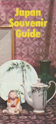
Tokyo. Japan Souvenir Association. [Circa 1945- 1965]. Black and white illustrations, single sheet printed both sides, a good used copy. When referring to this item please quote stockid 161841. More
(Bangkok). State Railway of Thailand. 1967. Black and white photographic illustrations, diagrammatical line drawings, 62pp, 16.2 x 10.5cm. Preliminary slip creased, otherwise a very good copy. When referring to this item please quote stockid 171824. More
![Stock ID #171055 [Japanese Trade Catalogues for Water Pumps and Motors]. 1920S JAPANESE TRADE...](https://asiabookroom.cdn.bibliopolis.com/pictures/171055.jpg?width=320&height=427&fit=bounds&auto=webp&v=1785744149)
Various publishers. (circa 1925). A small archive of 30 catalogues, newsletters and other early 20th century trade ephemera reflecting the water pumps and motors that were available in Japan in the first quarter of the 20th century. Original wrappers, some are folded, occasional creasing at margins and minor soiling or..... More
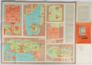
Editions cartographiques. 1957. Broadside, 75 x 53cm folding to 18 x 12.5cm, total of ten colour maps printed on both sides of sheet. A few ink annotations in French on maps, light wear to cover, couple of splits at folds, now repaired with archival tape, good condition. A most interesting..... More
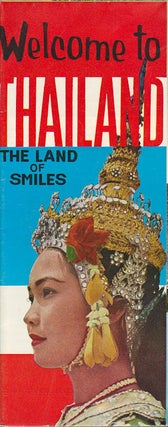
Bangkok. Tourist Organization of Thailand. Circa (1960- 1964). Fold out single-leaf pamphlet, black and white and colour illustrations. Slight crease to lower corner, otherwise a very good copy. When referring to this item please quote stockid 171860. More
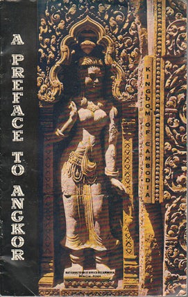
Phnom Penh. National Office of Tourism. 1965. Prepared with the advice and assistance of the École Française d'Extreme-Orient. Monotone illustrations, 39pp, spine little rubbed, damp damage lower cover and along lower margin throughout. Neat signature of a prior owner titlepage. A guidebook to Angkor; with history, advice for travellers, and..... More

Bangkok. Tourist Organization of Thailand. 1965. Single-leaf folding tourism pamphlet, colour and black and white photographic illustrations, 23 x 9.5cm folded. A very good copy. When referring to this item please quote stockid 171863. More
![Stock ID #169606 平時軍隊衛生勤務. [Ping shi jun dui wei sheng qin weu]....](https://asiabookroom.cdn.bibliopolis.com/pictures/169606.jpg?width=320&height=427&fit=bounds&auto=webp&v=1785744143)
軍委衛生部.[Jun wei wei sheng bu]. 1951. 2nd Edition. 55pp, charts, tables, a prior owner's chop upper cover, occasional tears, very good in general. Text translated from Russian into Chinese. 18.2 x 12.8cm. For internal use only, this booklet opens with the organisational structure of military health services. It also compares..... More
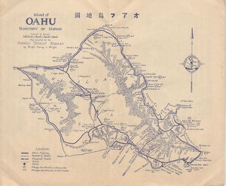
アアラ自動車組合. [Aara Jidōsha Kumiai]. Circa [ 1930]. Travel brochure, printed in blue ink, map extending over two panels, all text in Japanese, sheet measures 19.8 x 45 cm, folds down to 19.8 x 13 cm. Light occasional foxing, a very good copy. This brochure, with a map of Oahu by..... More
![Stock ID #177068 Africa [and] N. W. Africa, Morocco, Algeria & Tunis. AFRICA - MAP, GEORGE F....](https://asiabookroom.cdn.bibliopolis.com/pictures/177068.jpg?width=320&height=427&fit=bounds&auto=webp&v=1785747751)
Chicago. Geo. F. Cram. ( 1894). Chromolithographed maps, 54.3 x 34.1 cm (sheet), central fold, a few small edge tears and marginal age toning, but in very good condition. Detailed maps prepared for George F. Cram's 1894 "Standard American Atlas": one of the first American firms to publish a world..... More
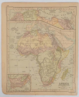
New York. Ivison, Blakeman, Taylor & Co., (circa 1877). Printed colour map, 27.5 x 21.7 cm, large inset of Northern Africa and a smaller of Southern Africa, two small edge tears, lower corner neatly strengthened, the sheet toned, but the map in good condition, unrelated text printed on the verso..... More
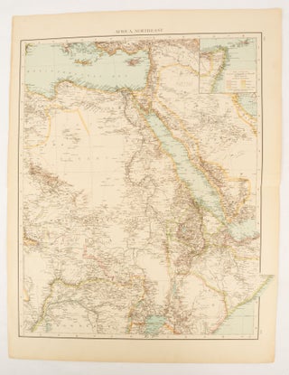
(London). (Times Atlas of the World). ( 1895). Double-page folding map, printed in colour, 46.5 x 36.5 cm. edges gilt, central fold, with an inset map of Somaliland (Somalia) and the island of Sokotra, key to European possessions outlined in colour, small edge fold tears affecting the margin only and..... More
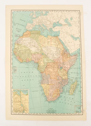
[New York]. Rand, McNally & Co., 1899. Printed colour map, 36.3 x 24.3 cm, inset map of the Suez Canal and two smaller insets of the Cardagos Crayos Islands, Mascarene Islands and Cape Verde Islands, central fold, and on the verso a printed panel listing the countries in Africa with..... More
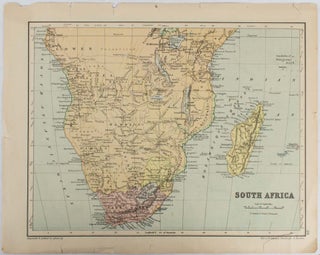
Edinburgh & London. W. & A. K. Johnston. (circa 1877). Printed colour map, 25 x 32.5 cm, edge tears, one affecting the lower border only, two small chips from the upper margin, corner repaired, the map in very good condition. Map of North America with a small inset of the..... More
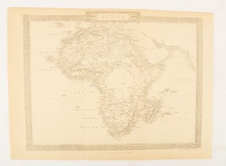
London. The London Printing and Publishing Company. [Circa 1880s]. Printed map, 24 x 32.1 cm, decorative border, two original vertical folds, paper toned, mainly at the edges, inner margin of the sheet ragged, but in good order. A late edition of the map used for the well-known Tallis map, this..... More
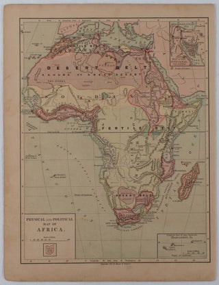
New York. Harper & Brothers. [circa 1877]. Chromolithographed map with outlne handcolour, 27.1 x 21 cm, major towns marked with a red cross, relief by hachures, ocean currents marked, two inset maps of the Suez canal and Mascarene Island, two very small marginal edge tears not affecting the map, slight..... More
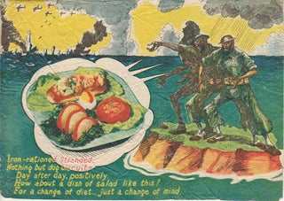
Circa 1942. Small airborne propaganda leaflet printed on one side only featuring a colour illustration. Appears to have been dropped during the Malayan Campaign. 14.6 x 19.8 cm, creased and marked on the reverse. Image still very clear and strong. Airborne colour propaganda leaflet urges the British troops to surrender..... More
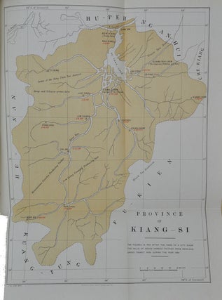
London. HMSO. 1890. Colour folding map, 13pp, original wrappers, quarto, very good copy. P.D. Coates, author of The China Consuls...(Hong Kong, OUP, 1988) states (p. 171) that for a considerable time, consular promotion of British trade seems to have been largely confined to recommendations and hints in the annual trade..... More
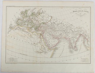
(Paris.): (circa 1820). Engraved map with original outline hand-colour, 21.1 x 31.5cm, original folds, a few spots and a little creased but in very good condition. Latin map of the Ancient world encompassing Europe, India, Arabia, the Middle East and North Africa, by the French cartographer Jean Baptiste Poirson (1761-1831)..... More
![Stock ID #64215 Thietmarsiae, Holsaticae Regionis Partis Typus. Auictore Petro Boeckel [with]...](https://asiabookroom.cdn.bibliopolis.com/pictures/64215.jpg?width=320&height=427&fit=bounds&auto=webp&v=1785757560)
(Antwerp). (Abraham Ortelius). (circa 1584). Two engraved maps on laid paper each 30.3 x 19.5 cm printed on the one sheet 48 x 60 cm, original fold, attractive hand colour, with related French text on verso, slight toning and spotting to the margins, but the maps in very good condition..... More
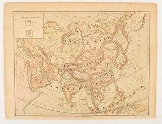
[New York.]: Harper & Brothers. 1875. Map printed in colour, polar projection, 21 x 27.1 cm, marginal spotting and toning, small edge tears to the inner margin, but in god condition. Prepared for "Harper's School Geography" first published by Harper & Brothers in 1875. The map shows physical features, mountains..... More
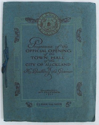
Auckland. The Brett Printing & Publishing Company. Thursday 14th December 1911. Illustrated frontispiece and numerous black & white photographic illustrations. Original illustrated blue soft covered wrappers with yap edges and silk ties. 47pp. On the verso of the frontispiece is hand written. " With Compliments Jan. 1920. I. Naylor Organ..... More
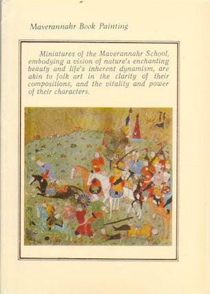
Leningrad. Aurora Art Publishers. 1973. Complete set of 16 pictorial cards, information sheet loosely inserted. Good copies in pictorial wrapper which is little browned at extremities. When referring to this item please quote stockid 161872. More
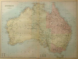
Edinburgh. A & C Black, 1884. Printed colour map of Australia, some light foxing, few minor tears browned edges, still a clear and bright image. Map measures approximately 42 x 55cm. When referring to this item please quote stockid 56997. More