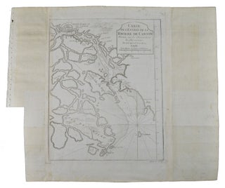
Carte de La Baye d'Hocsieu et des Entrées de La Rivière de Chang.
[Paris]. (Circa 1749). Engraved map on watermarked laid paper 20 x 27.3 cm, of Fuzhou and coastline of Fujian Province, original folds, designed by the great French cartographer Jacques-Nicolas Bellin. This map is from the impressive 15-volume "Histoire Génèrale des Voyages" compiled by Antoine François Prévost (map no. 2, Vol..... More
![Stock ID #224038 Carte de l'Entree du Gange [and as an inset] Carte de l'Entree de La Riviere...](https://asiabookroom.cdn.bibliopolis.com/pictures/224038.jpg?width=320&height=427&fit=bounds&auto=webp&v=1782288126)
![Stock ID #224037 Carte de l'Indoustan [together with] Suite de la Carte de l'Indoustan. JACQUES...](https://asiabookroom.cdn.bibliopolis.com/pictures/224037.jpg?width=320&height=427&fit=bounds&auto=webp&v=1782288126)